

Why slow down here
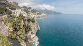
The Amalfi Coast, a UNESCO World Heritage Site since 1997, runs for around 50 km along the southern side of the Sorrento peninsula, from Positano to Vietri sul Mare. Its towns are linked by one narrow, winding road, the SS163 Amalfitana, which in summer is regularly jammed with coaches, cars and scooters. Trying to see Positano, Amalfi and Ravello in a single day from Naples or Sorrento usually means long waits and little time in each place.
A slower approach works better: stay in one or two towns for several nights, travel by bus, boat and on foot, and explore the coast's quieter villages and mountain paths between the well-known stops.
Choosing a base
- Amalfi is the transport hub, with buses in both directions along the coast and the main ferry pier. Its cathedral and the Paper Museum, in a former paper mill, are within walking distance, and Atrani, a small village next door, is a few minutes away on foot.
- Ravello, on a ridge above Amalfi, is quieter in the evenings once day visitors leave. Its gardens at Villa Rufolo and Villa Cimbrone have views over the coast, and the Ravello Festival holds concerts in summer.
- Minori and Maiori, east of Amalfi, are working towns with more ordinary prices; Minori has the remains of a Roman villa, and Maiori has the longest beach on the coast.
- Positano is the most photographed town, built steeply up the hillside. It is a good base for walkers heading to the Path of the Gods, but expect many steps.
- Cetara, a fishing village towards Salerno, is known for anchovies and colatura di alici, a traditional anchovy sauce with protected status.
Getting around without a car
Driving the coast is slow and parking is scarce and expensive, so most visitors are better off without a car.
Buses. SITA SUD buses run along the SS163 between Sorrento, Positano, Amalfi and Salerno, with a connecting line from Amalfi up to Ravello. Tickets are not sold on board in most cases; buy them in advance at tobacconists, newsagents and bars, and validate them when you board. Day and multi-day tickets are available. In high season buses can be full, so allow extra time, and check the current timetable, which changes between summer and winter.
Ferries. From roughly spring to autumn, ferries link Salerno, Amalfi, Positano, Sorrento and Capri, with some routes continuing to Naples. The boat is often faster than the road in summer and gives the best view of the coast. Services are reduced or suspended in winter and in rough seas, so confirm schedules with the operators shortly before travelling.
The odd/even plate rule. To reduce congestion, ANAS, the national roads agency, has in recent years imposed alternate-number-plate restrictions on the SS163 for non-resident vehicles during busy periods. On odd-numbered dates, cars with plates ending in an odd number may not use the road, and on even dates those ending in an even number. Local reports for 2026 gave spring windows around Easter and from late April to early May, from 10am to 6pm, with exemptions for residents, taxis, hire cars with drivers and hotel guests with a booking. The dates and exemptions are set by ordinance and change from year to year, so check the current rules with ANAS, your hotel or your hire-car company before driving.
Walking the old paths
Before the coastal road was built in the 19th century, the towns were connected mainly by mule tracks and stairways, many of which are still in use.
- The Path of the Gods (Sentiero degli Dei) runs high above the sea from Bomerano, a district of Agerola, to Nocelle above Positano. It takes around three hours one way for most walkers, with views along the coast to Capri. From Nocelle you can take a local bus or walk down a long staircase to Positano.
- Valle delle Ferriere, above Amalfi, follows a stream through a wooded valley with waterfalls and the ruins of old paper mills and ironworks.
- Ravello to Amalfi on foot is a descent of old stairways through lemon terraces, via the village of Scala or past the Torre dello Ziro to Atrani.
Wear walking shoes, carry water and avoid the middle of the day in summer. Paths can be closed after landslides or heavy rain, so check locally before setting out.
When to go
July and August are the busiest and hottest months, with the heaviest traffic and highest prices. May, June, September and early October generally offer warm weather, sea temperatures still suitable for swimming and fewer crowds. Many hotels and restaurants close from around November to March, and ferry services are limited, but bus services continue and the paths are open and quiet. Spring is good for walking, when the hillsides are green.
Eating and shopping slowly
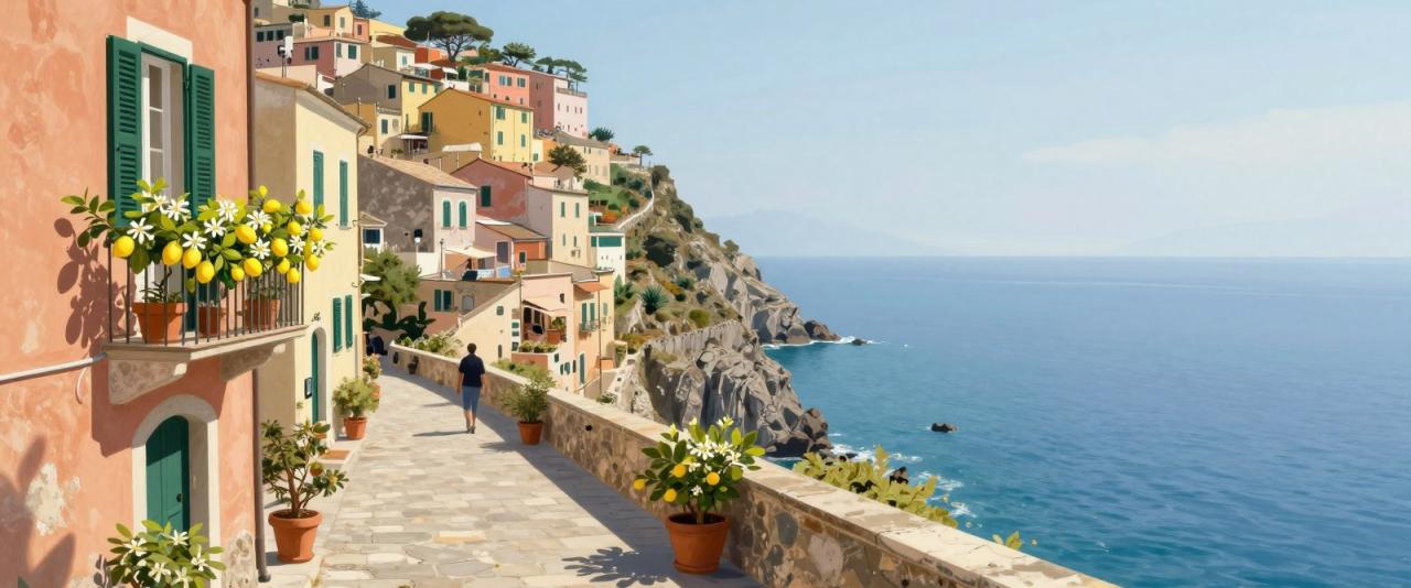
The coast is known for its large, thick-skinned lemons, the Sfusato Amalfitano, which have protected status and are used in limoncello, desserts and cooking. Fish and seafood dominate local menus, along with dishes from the surrounding Campania region such as pasta with clams. In Vietri sul Mare, at the eastern end of the coast, ceramic workshops produce the hand-painted tiles and pottery seen throughout the area. Buying locally made products, eating where residents do, and staying several nights in one place all spread visitor spending more evenly than the day-trip model that clogs the coast in summer.