
Charting the Blue Trail’s Crown Jewel
The Sentiero Azzurro does not merely connect five villages; it stitches them together with a thread of blue paint and sheer grit. This is the iconic Coastal Path of Cinque Terre, a ribbon of stone suspended between jagged cliffs and the Tyrrhenian Sea. To walk it is to navigate a landscape that demands your full attention. The ground shifts unpredictably from slippery limestone to soft, eroded earth, making the intermittent blue markers your only reliable compass. Because these paths are often no wider than a sidewalk and shared with locals heading to market or home, you must tread with humility. This is not a place for rushing; it is a stage for observation.
Weather here possesses a temperament of its own. A brilliant morning can dissolve into a gray, misty afternoon in minutes, turning smooth rocks into ice rinks if you are unprepared. Therefore, footwear is not a suggestion—it is a survival necessity. Slick stone requires aggressive tread, not casual canvas. As you ascend, UNESCO-listed panoramas unfold slowly, rewarding patience over speed. The reward is not just the view of azure waters crashing against sun-bleached cliffs, but the sensory immersion of salt air, pine scent, and distant church bells. Always verify trail status before departure. Rockfalls are common, and maintenance schedules change without warning. Approach this hike with presence, not just endurance, and the Ligurian coast will reveal its true character.
Measuring the Ascent: Segment by Segment
Distance on the Sentiero Azzurro is deceptive. Guidebooks often simplify the journey, but the reality is a series of distinct physical challenges. The first leg, from Monterosso to Vernazza, spans roughly 4 to 5 kilometers. While some sources mistakenly cite this as a short 1.2-kilometer hop, the actual trek winds along the cliffside with minimal elevation gain, offering a deceptive ease that lulls hikers into a false sense of security.
The mood shifts dramatically as you approach Vernazza. The trail then begins its rigorous ascent toward Corniglia, the only one of the five villages not directly accessible by the sea. Here, you will climb approximately 376 meters. This is a steep, sustained effort that typically takes two hours. It is a test of endurance, forcing you to pause and catch your breath as the village emerges from the hillside like a fortress.
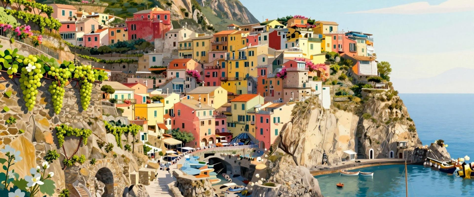
From Corniglia, the path descends sharply into Manarola. This 3-kilometer segment involves a vertical loss of roughly 200 meters. The terrain here is softer, winding through terraced vineyards where the grapevines cling to the rock. The change in pace is refreshing, and the view of Manarola’s colorful houses cascading toward the water becomes increasingly dramatic. The final leg, from Manarola to Riomaggiore, is short—about 1.5 kilometers—but steep. It drops you directly into the harbor town via rugged steps. While physically easier than the climb to Corniglia, it requires careful footing. Allow at least two hours for this final stretch, and plan for a full day to complete the circuit comfortably.
The Sentiero Azzurro is fragile. Rockfalls, erosion, and routine maintenance frequently close sections without long-term notice. Checking the current status of the path is not optional; it is the first step of your preparation. The segment between Monterosso and Vernazza is particularly prone to closure. If this section is blocked, do not attempt to scramble down the cliffside. Instead, utilize the regional railway. For approximately €2.20, a fifteen-minute train ride connects Monterosso to Vernazza reliably, sparing your legs and ensuring you arrive safely.
If you find yourself in Riomaggiore and the coastal path to Manarola is impassable, consider the Inland Trail. This alternative route winds through quiet valleys and olive groves, offering a serene experience far removed from the coastal crowds. The sunlight filters through the canopy, creating a dappled, peaceful atmosphere that contrasts sharply with the exposed cliffside. Always look for official signage for real-time updates. Flexibility is your greatest asset on this trail. Let the conditions dictate your route, prioritizing safety over the rigid adherence to a specific itinerary. Your safety depends on this attentiveness, so trust the signs and the trains when the path speaks no.
Rest Stops and Scenic Viewpoints
Hydration is the currency of survival on this trail. With steep elevation changes and intense summer heat, carrying at least two liters of water per person is non-negotiable. Fountains are sparse, and buying water at every stop can become expensive and environmentally taxing. Plan your intake strategically.
When you need a respite, Vernazza and Corniglia offer small cafes and refuges that serve as vital oases. These are not just places to drink; they are cultural touchpoints where you can recharge with local coffee or gelato. In Manarola, the elevated terraces provide the most dramatic backdrop for photography. The multi-colored houses seem to defy gravity, cascading toward the sea in a riot of color. Use these moments to rest your legs and capture the light.
Packing energy bars or fresh fruit from local markets helps maintain stamina during the more demanding stretches. Strategic breaks break up the trail’s intensity, ensuring you enjoy the scenery rather than just surviving it. Hydration, nutrition, and rest are not indulgences; they are essential components of a successful hike. Plan your stops to coincide with the best views, turning a physical necessity into a visual reward.
Your Next Move: Planning the Ascent
Begin your ascent before 8 AM. The midday sun beats down with little mercy, and the narrow trails become congested with tour groups. By starting early, you claim the path for yourself and the cooler morning air. The light is softer, the shadows are longer, and the silence is deeper. This is when the trail feels truly yours.
Pack wisely. Bring at least 1.5 liters of water, as fountains are rare on the route. Sturdy hiking shoes are non-negotiable; loose sneakers will fail you on the uneven stone steps. A physical map is a good backup, but don’t rely solely on it. The trail is well-marked, but technology can fail.
Stay on the marked paths. The terraced vineyards belong to local families who work hard to maintain them. Straying off the trail damages crops and disrupts their livelihoods. Respect their space. This is their home, not just your backdrop.
Planning doesn’t have to be complicated. Focus on the essentials: timing, gear, and respect for the land. The rest will fall into place as you walk. Let the rhythm of the trail guide you, and the Ligurian coast will reveal its magic.