


- Where
- Lecco, Lombardy
- Directions
- Directions
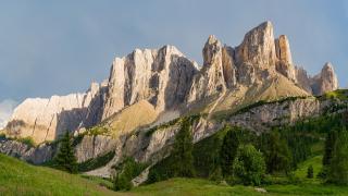
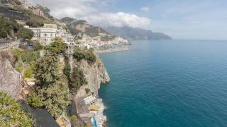
The Sentiero del Viandante, the Wayfarer’s Path, is a scenic trail along the eastern shore of Lake Como in Lombardy, northern Italy, which in its longest version connects Lecco to Sorico, at the northern tip of the lake, a distance of about seventy kilometres. It is the most famous section of the broader Vie del Viandante network, a system of routes that spans about two hundred and twenty kilometres from Switzerland to Milan. The path follows the lower slopes of the mountains, above the shore road and the railway, but well below the summits, and it is a mid-slope itinerary that offers spectacular views of the lake, which stretches out below like a long blue mirror, with the western shore and its villages opposite.
The path dates back to the Roman era as an ancient mule track, one of the routes that linked the plain of Lombardy with the Alpine passes and with the lands to the north, and it has been used by travellers, merchants and pilgrims ever since. In the eighteenth century it was known as the Via Ducale or Via Regia, serving as a primary link between Milan and the northern borders of the duchy, the Duchy of Milan. In the fifteenth century, it was recommended for pilgrims to avoid plague epidemics, since it ran high above the towns of the shore. Structural improvements were made during the Napoleonic Era to connect Milan to Valtellina, the valley of the Adda, which earned it the name Strada Napoleona, the Napoleonic road. After falling into disuse in the nineteenth century, when the shore road and the railway took over the traffic, the trail was restored for tourism in 1992, and it has since become one of the best-loved walking routes in Italy.
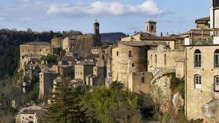
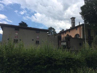
The route passes through historic villages, stone houses, old mills, castles and ancient agricultural terraces, as well as chestnut woods, vineyards, olive groves and meadows, and it crosses streams on small stone bridges. Along the way there are medieval churches, among them small Romanesque chapels, watchtowers from the period when the lake was a frontier, and viewpoints where the trail clings to the cliff. Many of the villages, such as Varenna, Bellano and Dervio, have a ferry or a railway station, so walkers can break the route into stages and return by train or boat. The usual way to walk it is in sections of three to five hours, with the full trail taking several days.
The trail is generally of moderate difficulty, but some sections are steep and rocky, and the weather can change, so walkers should be well equipped, with good boots, water and a map. Waymarks are clear, with signs and a distinctive logo. The best seasons are spring and autumn, when the air is clear and the temperature mild, and summer can be hot on the sunny slopes.
Lecco, at the southern end of the eastern branch of the lake, is the usual starting point, and it is also associated with the writer Alessandro Manzoni, whose novel The Betrothed is set in these places. Guided walks are available. The trail is a good way to see the lake at a slow pace, away from the crowds of the western shore, and it is open to anyone with a good level of fitness. European walkers value it for its mix of nature and history.
Categories

More photos coming soon

Questions people ask
Quick Facts
Best Time to Visit
Visit between April and June or September and October for mild temperatures and fewer crowds.